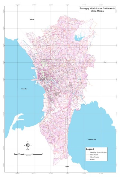
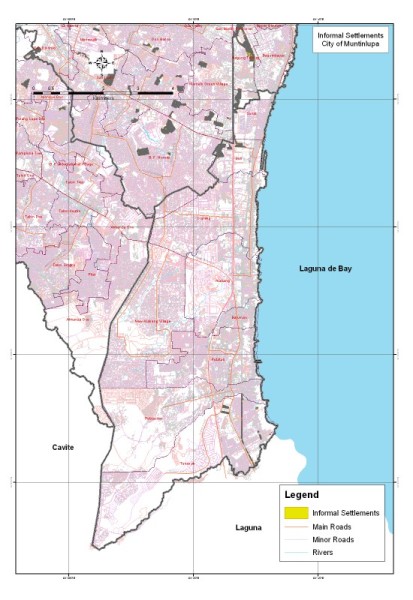
SRDP provided the following services for the project:
- Updated GIS databases of the cities of Taguig and Muntinlupa including, topographic, land use and zonal values maps
- Geographic data processing, analysis and documentation
- Management of technical and GIS orientation training activities to selected city government personnel of Taguig and Muntinlupa