SRDP provided the following outputs/services for the project:
- New Base Map of Balanga City at scale 1:2000 using Color Aerial Photography
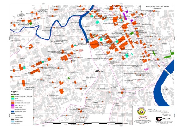
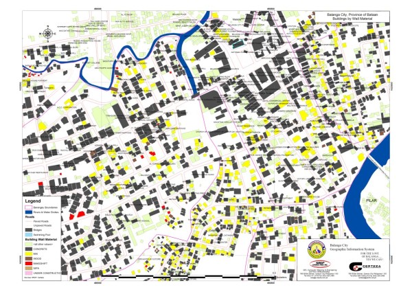
- Detailed GIS database of the city using house to house survey; the database includes information such as address, household/business establishment information and house structure information
- Real property GIS map that will be linked to the city s real property database
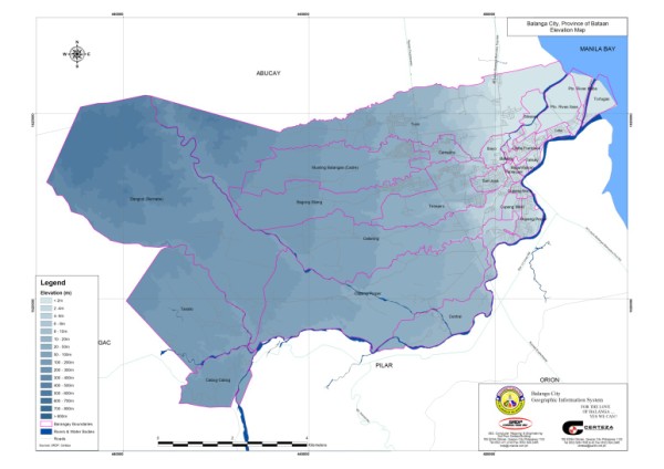
- Spatial analysis and preparation of various thematic maps
- Technical transfer to personnel of Balanga City Hall