SRDP provided the following outputs/services for the project:
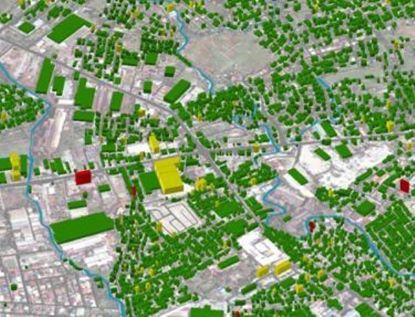
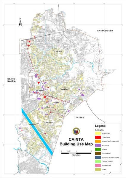
- Detailed GIS database of the city using house to house survey; the database includes information such as address, household/business establishment information and house structure information
- Real property GIS map that will be linked to the municipal real property database
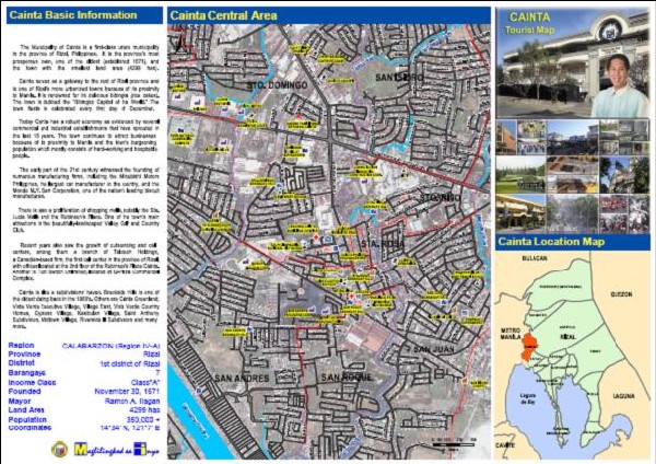
- Map atlas, tourist map and map viewer applications
- Technical transfer to personnel of Cainta Municipal Hall