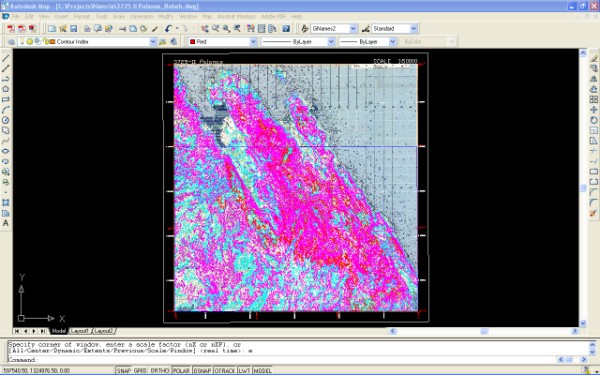
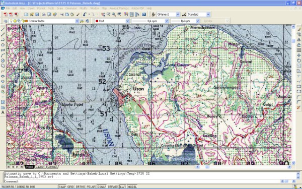
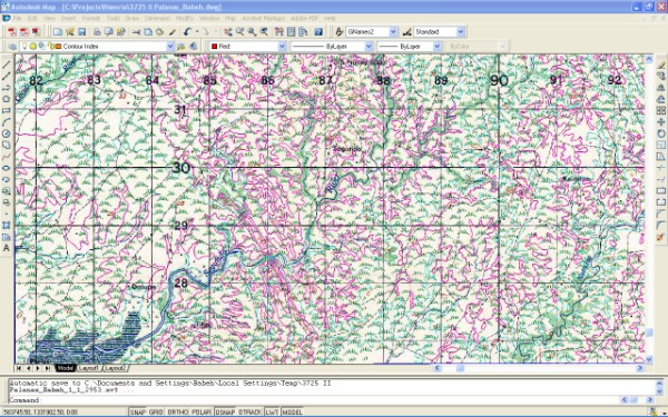
SRDP carried out the following tasks:
- Digital conversion of topographic maps at scale 1:50,000
- Elevation of the digitized contours
- Editing of digitized features
- Edge matching with the adjoining sheets
- Conversion to GIS file format (shapefile)
- Ensuring the quality of datasets
- Documentation of works