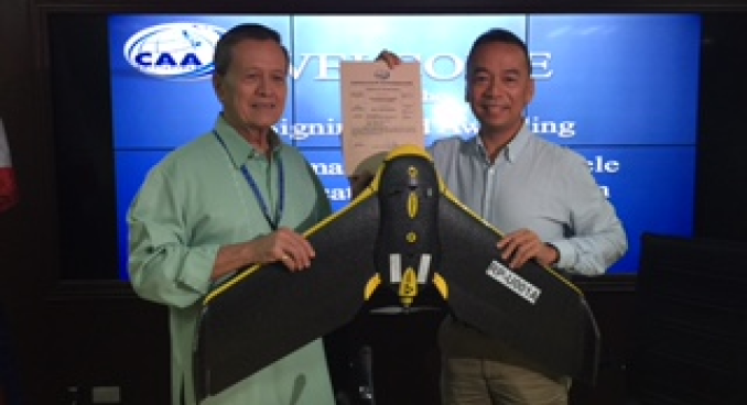
UNMANNED AERIAL VEHICHLE (UAV) MAPPING
- SRDP is the first company in the Philippines to be issued a certificate of authority to operate Unmanned Aerial Vehicles (UAV), more popularly known as "drones", for commercial purposes. Two SRDP UAV's, registered as RP-001A and RP-002A, are the first units to be licensed by the Civil Aviation Authority of the Philippines (CAAP).
Read more
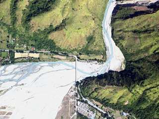
MANNED AIRCRAFT BASED MAPPING
- XCAM B is an manned aircraft based mapping system and operating it is a critical step to making sure we stay ahead of the technology curve. It is portable and very efficient to operate.
The XCAM B enables us to provide almost any area and resolution of data our clients need. It sits perfectly between our UAV operations and what can be captured with large format digital cameras. With the evolving strict regulations concerning UAVs, it is practical in surveying larger areas and those where it is difficult for drones to operate such as urban and mountain areas.
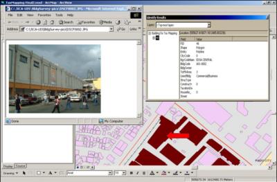
TAX MAPPING
- One of the major concerns for local government units is increasing revenue to fund development projects. This concern is anchored to the improvement of tax collection, which comprises a big percentage of local income.
SRDP has established tax mapping schemes for LGUs in support of this endeavor. It specializes in the creation and GIS processing of digital parcel maps from existing hardcopy section maps. LGUs are thus equipped with modern practical and non-invasive tools for tax assessment and verification.
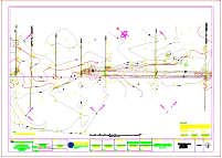
TOPOGRAPHIC MAPPING
- SRDP specializes in topographic mapping, which involves digitization of topographic features and preparation of plans, profiles and cross sections of surveyed areas.
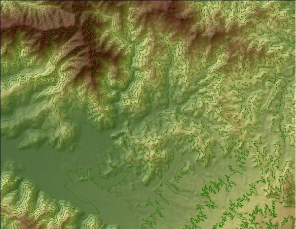
CONTOUR MAPPING
- Another expertise of the company is contour mapping. We generate digital contours, 2D and 3D elevation models, or elevation and slope layers using up-to-date CADD and GIS software. We also perform related analyses and prepare corresponding maps, depending on the project requirements.